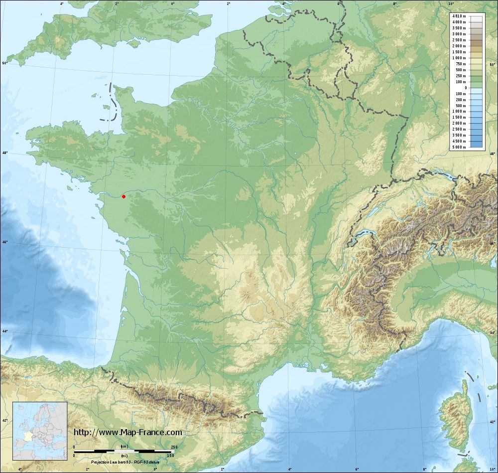
Le Loroux-Bottereau on the relief France map in Lambert 93 coordinates
|

See the map of Le Loroux-Bottereau in full screen (1000 x 949)
|
At left, here is the location of Le Loroux-Bottereau on the relief France map in Lambert 93 coordinates.
Here are the altitudes of Le Loroux-Bottereau :
- Town hall altitude of Le Loroux-Bottereau is 50 meters
- Minimum altitude of Le Loroux-Bottereau is 2 meters
- Maximum altitude of Le Loroux-Bottereau is 93 meters
- Medium altitude of Le Loroux-Bottereau is 48 meters
Here are the altitudes of Nantes, prefecture of Loire-Atlantique department:
- Town hall altitude of Nantes is 20 meters
- Minimum altitude of Nantes is 2 meters
- Maximum altitude of Nantes is 52 meters
- Medium altitude of Nantes is 27 meters
Here are the altitudes of the french biggest cities:
Paris : 33 meters
Marseille : 20 meters
Lyon : 237 meters
Toulouse : 146 meters
Nice : 10 meters
Nantes : 20 meters
Strasbourg : 144 meters
Montpellier : 35 meters
Bordeaux : 16 meters
Lille : 20 meters
Rennes : 35 meters
Reims : 83 meters
Click here for the terrain map of Le Loroux-Bottereau in full screen:
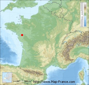
Relief map of Le Loroux-Bottereau
|
This relief map of Le Loroux-Bottereau is reusable and modifiable by making a link to this page of the Map-France.com website or by using the given code :
|
Terrain base map of Le Loroux-Bottereau
|
See the terrain base map of Le Loroux-Bottereau in full screen (1000 x 949)
|
Small relief base map of Le Loroux-Bottereau
|
This base map of Le Loroux-Bottereau is reusable and modifiable by making a link to this page of the Map-France.com website or by using the given code :
|
Map of Le Loroux-Bottereau with regions and prefectures
|
View the map of Le Loroux-Bottereau in full screen (1000 x 949)
|
You will find the location of Le Loroux-Bottereau on the map of France of regions in Lambert 93 coordinates. The city of Le Loroux-Bottereau is located in the department of Loire-Atlantique of the french region Pays de la Loire.
Geographical sexagesimal coordinates / GPS (WGS84):
Latitude: 47° 14' 17'' North
Longitude: 01° 20' 57'' West
Geographical decimal coordinates :
Latitude: 47.238 degrees (47.238° North)
Longitude: -1.346 degrees (1.346° West)
Lambert 93 coordinates :
X: 3 712 hectometers
Y: 66 910 hectometers
Lambert 2 coordinates :
X: 3 211 hectometers
Y: 22 552 hectometers
Below, the geographical coordinates of Nantes, prefecture of the Loire-Atlantique department:
Geographical sexagesimal coordinates / GPS (WGS84):
Latitude: 47° 13' 02'' North
Longitude: 01° 33' 14'' West
Geographical decimal coordinates :
Latitude: 47.219 degrees (47.219° North)
Longitude: -1.554 degrees (1.554° West)
Lambert 93 coordinates :
X: 3 555 hectometers
Y: 66 896 hectometers
Lambert 2 coordinates :
X: 3 055 hectometers
Y: 22 537 hectometers
|
This map of Le Loroux-Bottereau is reusable and modifiable by making a link to this page of the Map-France.com website or by using the given code :
|
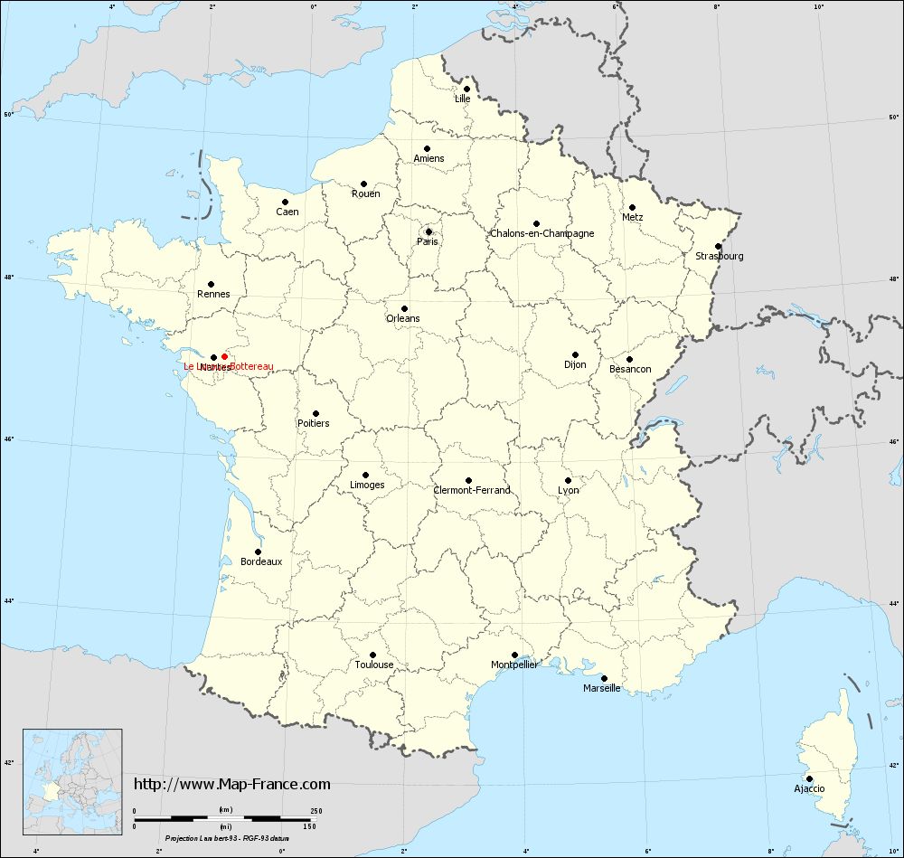
Map of Le Loroux-Bottereau with departments and prefectures
|
Voir la carte of Le Loroux-Bottereau en grand format (1000 x 949)
|
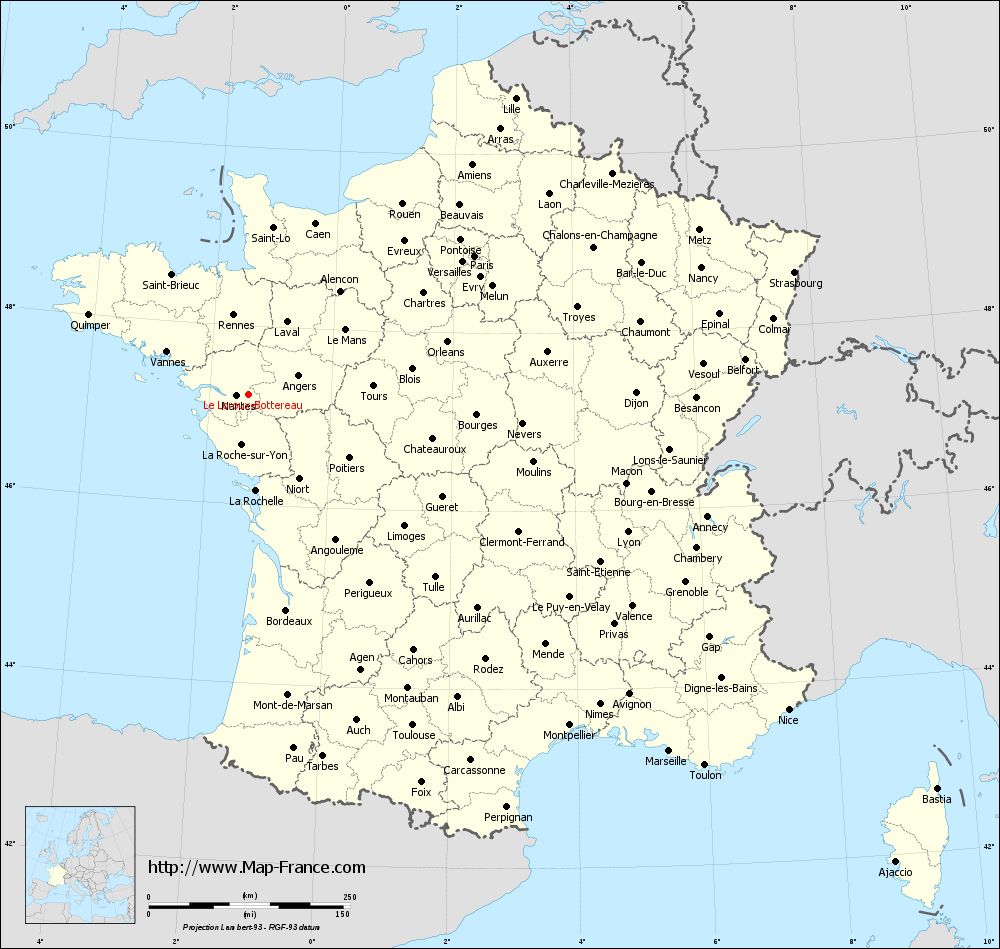
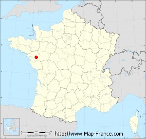
Here is the localization of Le Loroux-Bottereau on the France map of departments in Lambert 93 coordinates. The city of Le Loroux-Bottereau is shown on the map by a red point.
The city of Le Loroux-Bottereau is located in the department of Loire-Atlantique of the french region Pays de la Loire.
The latitude of Le Loroux-Bottereau is 47.238 degrees North.
The longitude of Le Loroux-Bottereau is 1.346 degrees West.
Here the distance between Le Loroux-Bottereau and the biggest cities of France:
Distances are calculated as the crow flies (orthodromic distance)
Distance between Le Loroux-Bottereau and Paris : 328.12 kilometers
Distance between Le Loroux-Bottereau and Marseille : 685.11 kilometers
Distance between Le Loroux-Bottereau and Lyon : 500.31 kilometers
Distance between Le Loroux-Bottereau and Toulouse : 459.25 kilometers
Distance between Le Loroux-Bottereau and Nice : 776.46 kilometers
Distance between Le Loroux-Bottereau and Nantes : 15.8 kilometers
Distance between Le Loroux-Bottereau and Strasbourg : 693.71 kilometers
Distance between Le Loroux-Bottereau and Montpellier : 572.77 kilometers
Distance between Le Loroux-Bottereau and Bordeaux : 272.69 kilometers
Distance between Le Loroux-Bottereau and Lille : 494.36 kilometers
Distance between Le Loroux-Bottereau and Rennes : 99.77 kilometers
Distance between Le Loroux-Bottereau and Reims : 456.64 kilometers
Clic here to see the map of Le Loroux-Bottereau in full screen:
Le Loroux-Bottereau on the map of french departments
|
This administrative map of Le Loroux-Bottereau is reusable and modifiable by making a link to this page of the Map-France.com website or by using the given code :
|
Administrative base maps of Le Loroux-Bottereau
|

See the administrative base map of Le Loroux-Bottereau in full screen (1000 x 949)
|
Small administrative base map of Le Loroux-Bottereau
|
This base map administrative of Le Loroux-Bottereau is reusable and modifiable by making a link to this page of the Map-France.com website or by using the given code :
|
 French Version : http://www.cartesfrance.fr